Interests
Cartography:
- Illustrative map styles
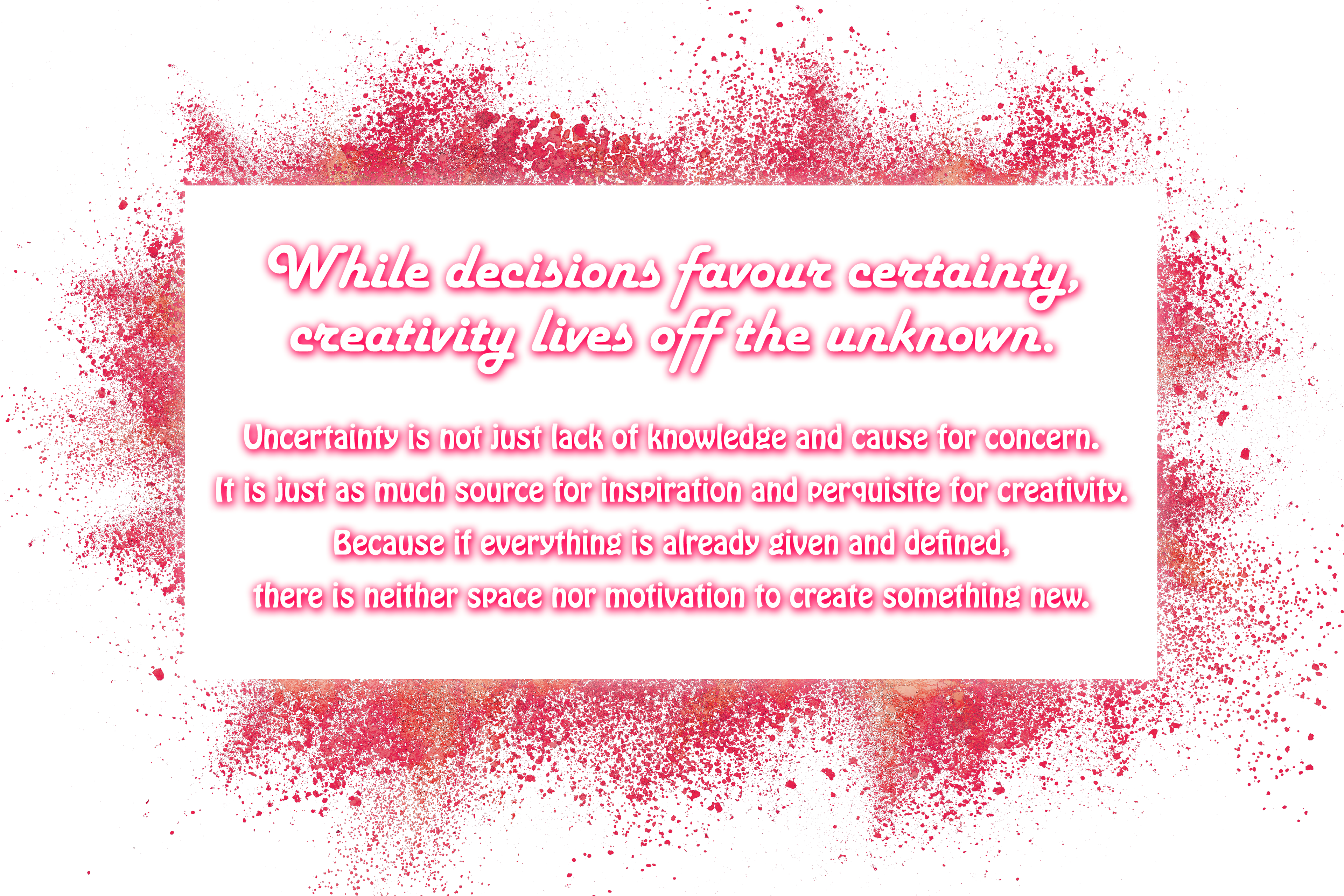
- Visualisation of uncertain content to inspire imagination and creativity
- Maps for worldbuilding
- Visual analytics
- Illustrative map styles
- Visualisation of uncertain content to inspire imagination and creativity
- Maps for worldbuilding
- Visual analytics
Spatial Planning:
- Visual communication during spatial design (Raumplanerisches Entwerfen)
- Mapping "partly-baked ideas"
- Visual communication during spatial design (Raumplanerisches Entwerfen)
- Mapping "partly-baked ideas"
Philosophy | Arts | Neurosciences:
- Knowledge production
- Creativity
- Idea generation
- Knowledge production
- Creativity
- Idea generation
Doctoral Project:
CARTISTIC
CARTISTIC
CARTographic Illustrative STyles to Inspire Creativity:
Visualising deep uncertainty in spatial planning
Visualising deep uncertainty in spatial planning
Summary
Traditionally, maps aspire to be as precise, clear, and unambiguous as possible. In spatial planning, however, the opposite is needed sometimes. As spatial planning is a discipline dealing with the future, spatial planning maps not only show existing tangible objects (like the built road network of a city) and completely developed concepts (say, the spatial distribution of age groups across a city). Instead, they often show assumptions, hypotheses, suggestions, and questions, that are still open to discussion (for example, a rough vision of how an old industry area could to be redeveloped). Spatially visualising these ‘unfinished ideas’ in an adequate manner is crucial for the creative design process. It leaves room for discussion and opens space for new solutions.
The goal of this project is thus to develop design recommendations, workflows, and tools for spatial planners to support them in creating such visualisations during the different stages of the spatial planning process. A special focus will be put on illustrative styles as examples from practice promise a high potential for such visualisations.
Further Information
Dedicated Project Website
Parent institution: Chair of Cartography at ETH Zurich
Funding source: ETH Research Grant (Single PI)
Progress updates, events, and more: CARTISTIC News
Collaborating Institutions
Chair of Digitalisation, Visualisation, and Monitoring in Spatial Planning, TU Kaiserslautern (Germany)
Planning office berchtoldkrass space&options (Germany)
Planning office urbanista.ch (Switzerland)